History: Antique Maps
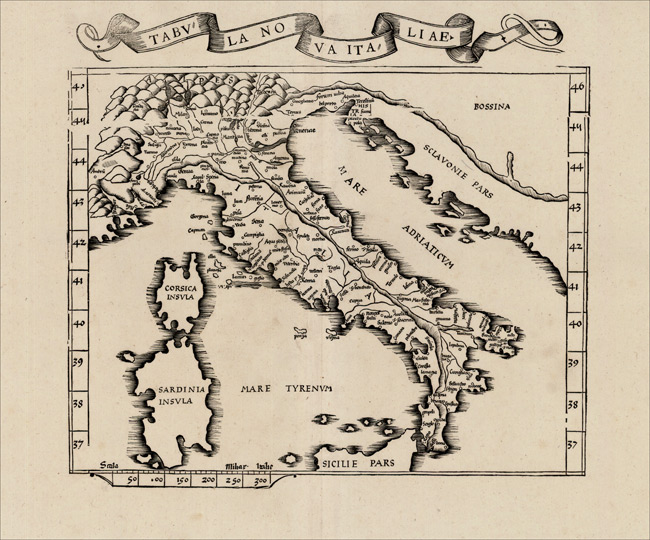
- Title: 1535 Map of Tabula Nova Italiae
- Description: Nice example of the 1535 edition of Lorenz Fries modern map of Italy, one of the earliest modern maps of Italy and environs.
- Publisher: Lorenz Fries
- Download: High-Res pdf
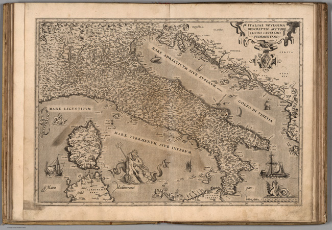
- Title: 1570 Map of (32) Italiae
- Publisher: Gielis Coppens van Diest
- Download: High-Res pdf
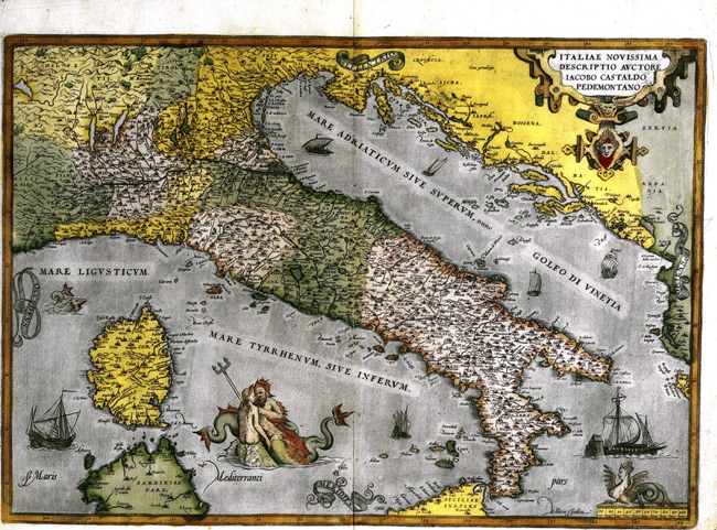
- Title: 1579 Map of Italy
- Publisher: Plantijn
- Download: High-Res pdf
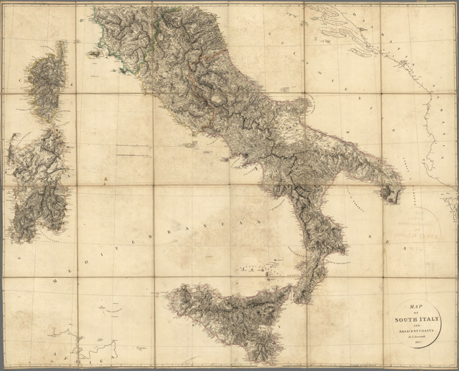
- Title: 1807 Map of South Italy and Adjacent Coasts
- Publisher: A. Arrowsmith
- Download: High-Res pdf
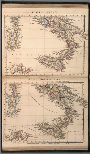
- Title: 1828 Map of South Italy, Italia Meeridionalis
- Description: Two Outline hand color maps. Shows fine detail in naming the major cities, mountain ranges, lakes, and rivers. Relief shown by hachures. prime meridian is Greenwich.
- Publisher: A. Arrowsmith
- Download: High-Res pdf
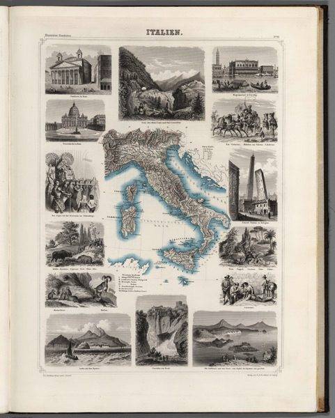
- Title: 1863 Map of Italien
- Description: Lavishly illustrated around margins of map with high quality vignettes of animals, structures and people. Relief shown in hachures.
- Publisher: F.A. Brockhaus
- Download: High-Res pdf
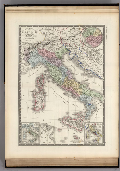
- Title: 1875 Map of Italie Ancienne
- Description: Prime meridian Paris. Three scales. Relief shown by hachures.
- Publisher: Institut Geographique de Paris
- Download: High-Res pdf
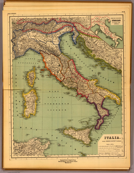
- Title: 1903 Map of Italia
- Description: 1 color map. Relief shown by hachures. Prime meridians: Paris and Greenwich.
- Publisher: Dietrich Reimer
- Download: High-Res pdf
Copyright © 1993—2025 World Trade Press. All rights reserved.

 Italy
Italy